
Words & Images Evan Haussmann
‘‘Continue straight! Turn right onto Avenida 25 Setembro! Turn left now!”
The Google GPS lady’s terse commands and staccato pronunciation of Maputo’s Portuguese street names had made us laugh at first. But, after numerous unsuccessful attempts to get to a restaurant on the city’s waterfront in the dark, I was becoming somewhat tense. The dead-end and boom-gated streets of the unfamiliar city rendered the increasingly irritating digital navigators’ commands useless. I was becoming ‘hangry’, and hunger-induced anger is seldom useful.
Luckily, my co-pilot Claire then took navigating into her own hands. Soon cold beers were flowing and a feast of peri-peri frango (chicken) and batata frita (fries) rendered it ‘situation normal’.
In the morning, weary (and now wary) of the city bustle, we loaded our Fortuner and inched slowly through traffic and out of the city.
Once on Mozambique’s main northsouth EN1 highway, we began to encounter the notorious speed limits. Just as you get a bit of speed up, the road signs declare it to be an 80kph zone; then, soon after, it’s 60kph; then it’s back up to 80kph again.
There’s no ‘cruising’ along this route: only frustration. Traffic police enforce the speed limit with draconian rules, and if you’re recorded going even slightly over the limit, you will be stopped and fined heavily.
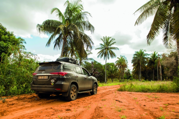
It wasn’t long before I resolved to let the iPhone Tracks4Africa GPS app direct us north along ‘off-road routes only’ wherever possible. No EN1 for us.
Our mission was to find and paddle suitable waterways between Maputo in the south and Pomene Bay to the north. This stretch of coastline is roughly 500 kilometres long. On the map, it appears to have countless bodies of water that look worthwhile, and we planned to explore. But, you know what they say about plans…


